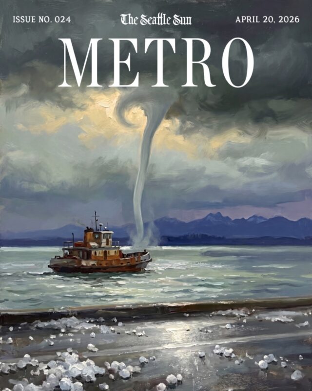
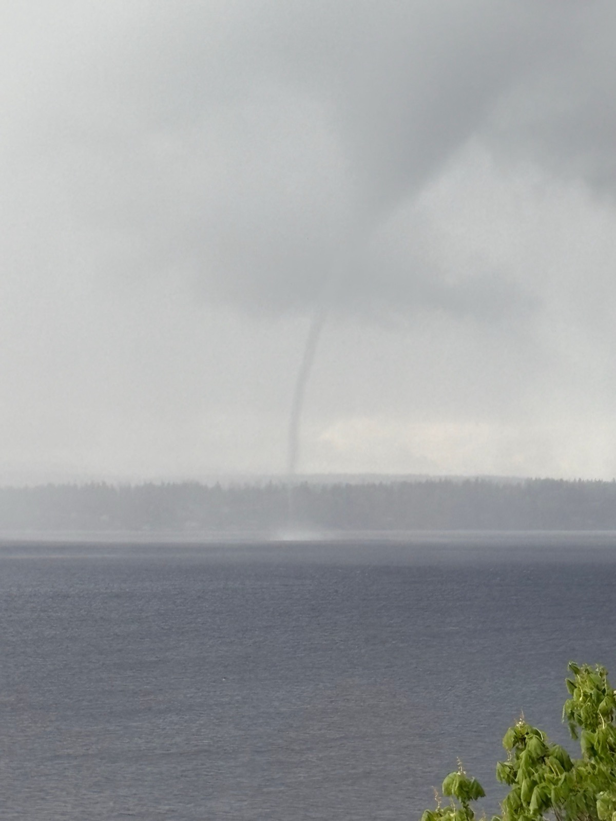
Wednesday afternoon’s convergence-zone storm dropped hail on South Lake Union, put lightning over Queen Anne, and briefly spun a waterspout three miles west of Magnolia — the first April snow or hail recorded in Seattle since April 17, 1972, by Sea-Tac’s official measure.
What Happened, and When
The National Weather Service Seattle logged the waterspout at about 3 p.m., describing it as short-lived. Hail and graupel accumulated on rooftops through the afternoon; heavy downpours broke between stretches of blue sky; cloud-to-ground lightning struck above Queen Anne. Over the following 48 hours, the same system carried roughly 18 inches of fresh snow into the Cascades.
Why It Happened
The setup was a textbook Puget Sound convergence zone. Air splitting around the Olympic Mountains collided over the Sound, forcing upward motion. Cold air aloft sat over warmer surface water, and the instability produced the thunderstorm cell that carried the waterspout. “There is inherent rotation from the converging winds in a convergence zone,” University of Washington atmospheric scientist Cliff Mass wrote on his blog, “and that rotation can be increased by the strong vertical motion in a thunderstorm.” Weak tornadoes and waterspouts have a long history in this pattern, Mass noted — though they rarely come with April hail.